Anchorpoint Geospatial was founded out of ten years of U.S. Navy service
and nearly three decades in technology. The company holds an FAA Part 107
certification and operates out of University Place, Washington, serving
AEC firms, general contractors, and municipal clients nationwide.
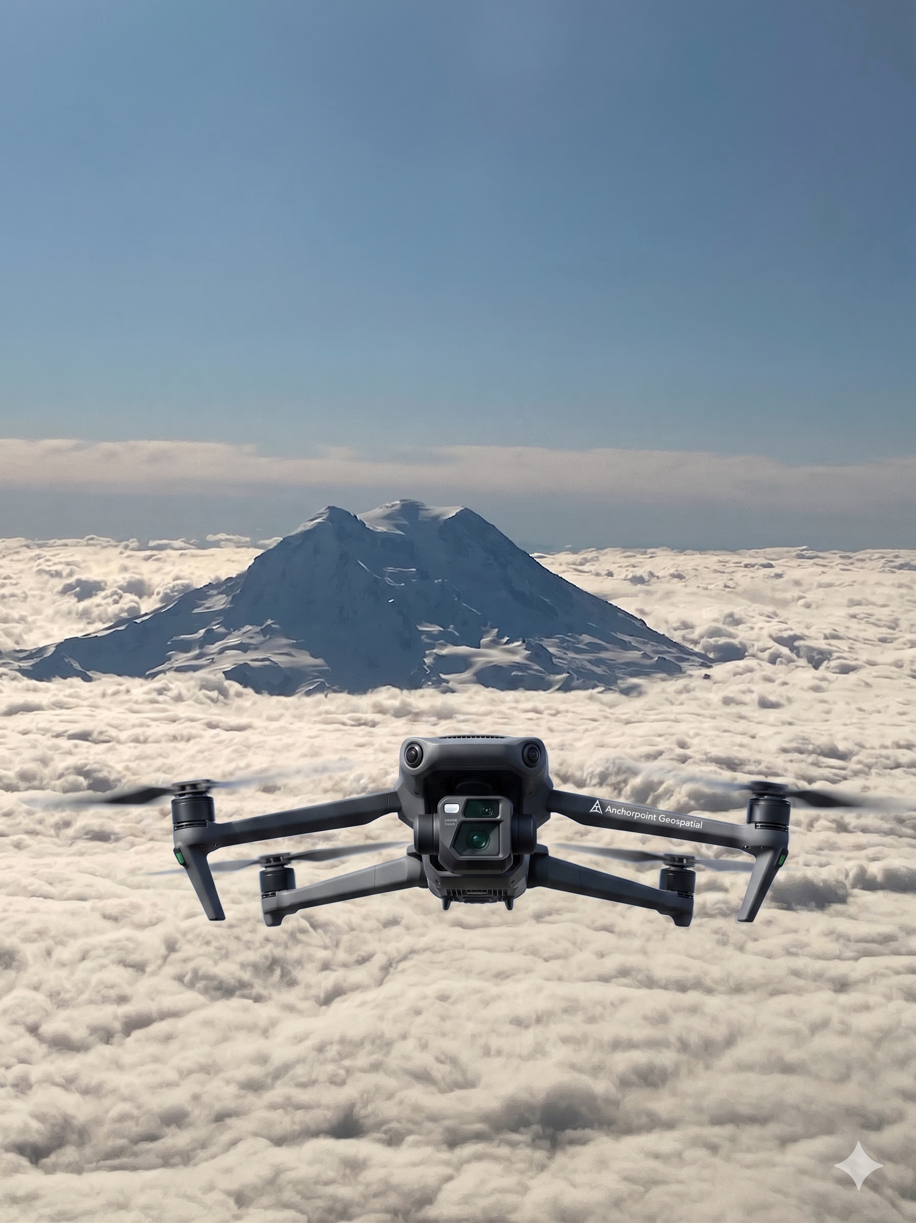
Operations run on an enterprise mapping drone with RTK positioning and network corrections, processed in Pix4Dmatic with
Pix4D Cloud for client-facing delivery. Every mission runs off a checklist.
Every deliverable is referenced to a coordinate system the engineer or
surveyor on the receiving end already uses.
Anchorpoint is a member of the Vets2Drones network, a national program
connecting veteran drone professionals with training, mentorship, and
industry resources. Anchorpoint is SDVOSB certified through SBA VetCert.
30 yrsTECHNOLOGY PROFESSIONAL
10 yrsU.S. NAVY SERVICE
Part 107FAA CERTIFIED
V2DVETS2DRONES MEMBER
RTKCENTIMETER POSITIONING
NAICS541370
CAGE1ZV21
UEISF4UBKWUDGM6